
Andover could see up to eight inches of snow from a storm coming into the region Wednesday night and continuing Thursday morning.
Meteorologists are describing the storm as “complex” as they try to pin down an accurate forecast. As of Tuesday afternoon, the forecast was still up in the air, with some models calling for 3 to 5 inches. Currently, the National Weather Service in Boston is calling for rain and snow Wednesday night and turning to snow later on Wednesday night. There is also a chance for freezing rain in areas.
Under the worst-case scenario forecast, 3-5 inches would fall in Andover overnight Wednesday, with an additional 1-3 inches on Thursday morning. Precipitation will trail off throughout the day Thursday. But with overnight lows hovering just above freezing, you may opt for ice skates over your snow blower before you head out Thursday morning.
“Right now it looks like things are trending warmer, so hopefully it won’t be too bad,” Andover DPW Director Chris Cronin said Tuesday morning. “But that could also lead to freezing rain, which is the worst for us. All we can do then is put down salt, and that is expensive.”
Andover residents woke up to the first wave of the storm on Tuesday morning, with light snow and areas of black ice throughout the morning. An early-morning, weather-related crash on the southbound side of Interstate 495 in Andover threw a wrench in Tuesday morning’s commute. But accumulation from Tuesday’s preview was less than an inch in Andover.
The storm will also bring cooler weather, with high temperatures hovering around freezing through Sunday. The extended forecast is also calling for snow showers Sunday morning.
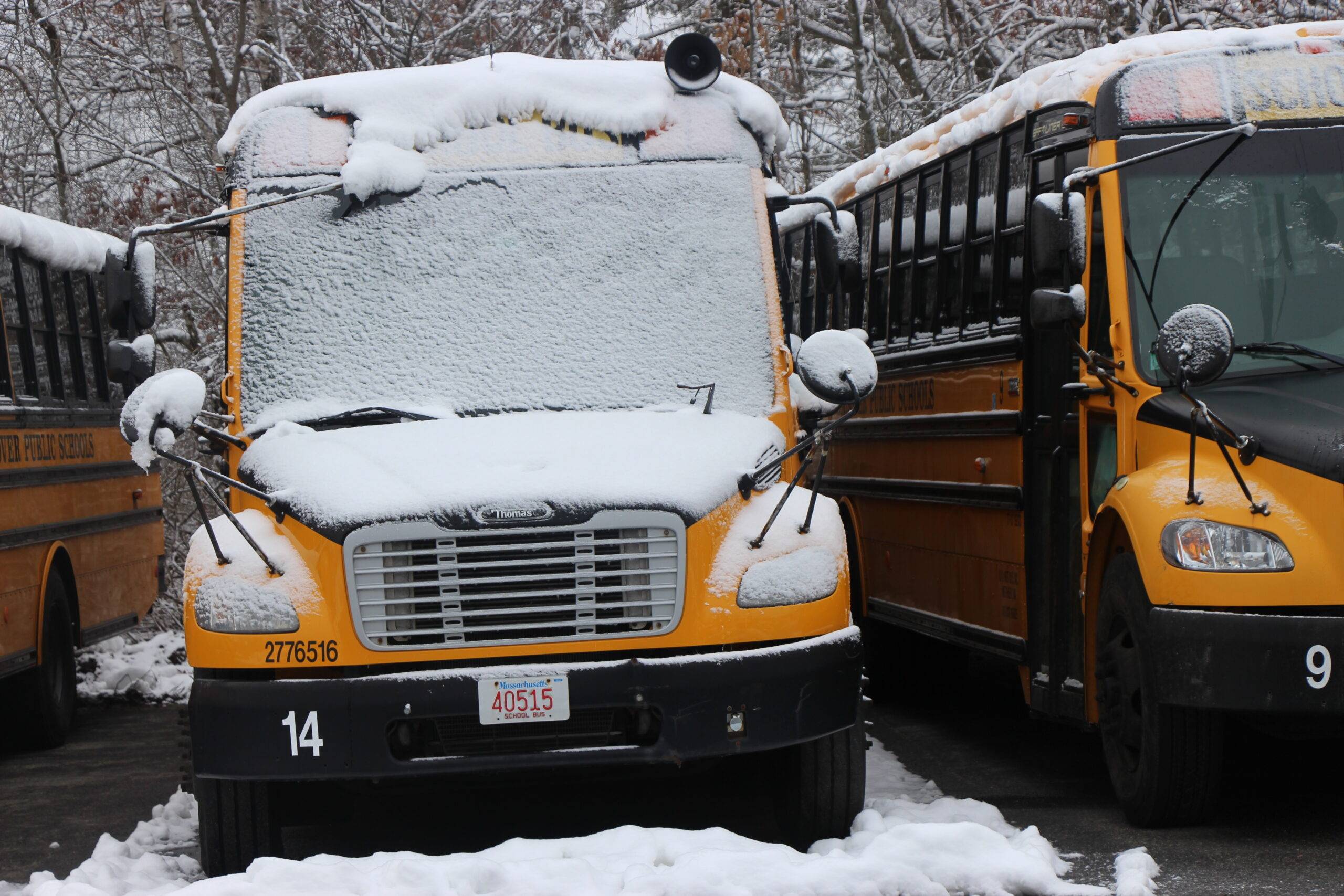
Main photo: Andover Public Schools are closed this week for February vacation, meaning, at the very least, parents won’t be awakened with early morning calls canceling school (Dave Copeland).